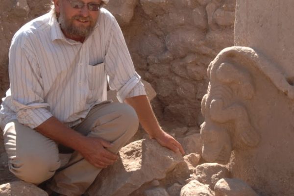
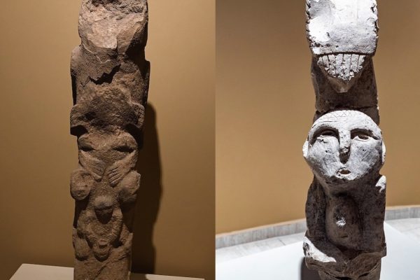
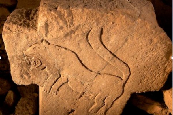
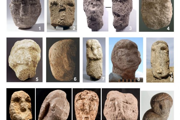
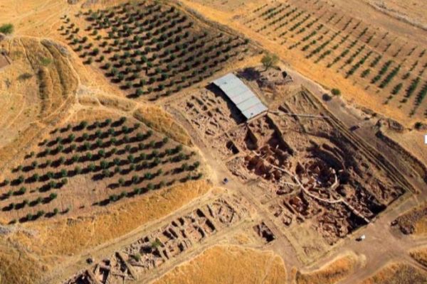
Ayanlar Höyük (Gre Hut), located 30km west of Sanlıurfa, was discovered during surface surveys conducted in 2013. Ayanlar Höyük dated to the Pre-Pottery Neolithic Period, is a largescale mound like Göbekli Tepe and Karahan Tepe, covering an overall surface area of 14 hectares. It was learned recently that three artefacts dated to the Pre-Pottery Neolithic period which are held by Sanlıurfa Museum were brought from Ayanlar Höyük. The artefacts in Sanlıurfa Museum and the finds recovered from Ayanlar Höyük during a surface survey have been identified as having characteristics similar to those from Körtik Tepe, Göbekli Tepe, Nevali Çori and Karahan Tepe. Consequently, Ayanlar Höyük should be dated between the early Pre-Pottery Neolithic Period B (EPPNB) and the mid-Pre-Pottery Neolithic Period B (MPPNB).