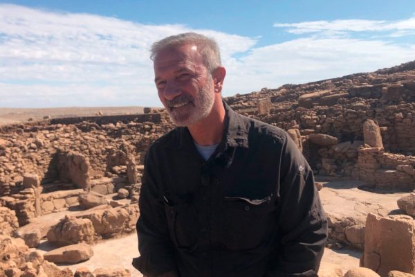
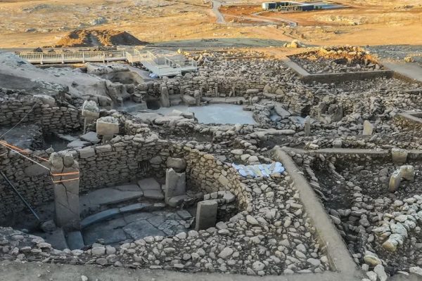
Dr. Necmi Karul is heading excavations at Karahan Tepe.
Estimated degree of Excavated area:
4-5% (Our guess).
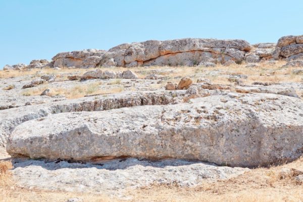
In Karahantepe, the archaeological fills cover an area of almost 10 hectares, which increases by another five hectares if the quarries for the T-shaped columns are included.
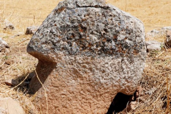
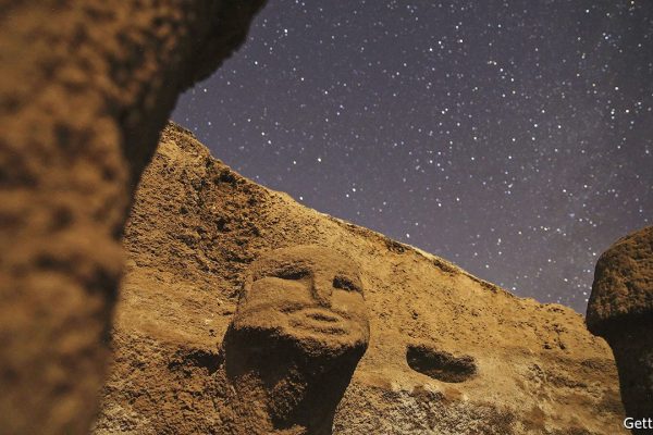
Karahan Tepe is an archaeological site in Şanlıurfa Province in Turkey. The site is close to Göbekli Tepe and archaeologists have also uncovered T-shaped stelae there. According to Daily Sabah, “The excavations have uncovered 250 obelisks featuring animal figures” as of 2020. The site is located near Yağmurlu and roughly 46 kilometers east of Göbekli Tepe, which is often called its sister site. It is part of the Göbeklitepe Culture and Karahantepe Excavations project. The area is known as “Keçilitepe” by local people. It is part of a region of similar sites now being uncovered known as the Taş Tepeler.