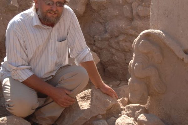
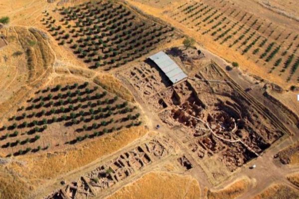
Kurt Tepesi settlement is located on a hill that dominates the Çoban Creek Pass, which serves as a passageway between Harran Plain and Viranşehir region (Fig. 2). It is a small mound established on a ridge formed by high calcareous plateaus, which is very poor in terms of soil. The western section of the mound that covers approximately 7-decare area is distorted due to illegal excavations. Moreover, a high voltage transmission line pole is located at the north end of the mound. Small cavern groups and a pool carved to the bedrock are determined at the calcareous rocks surrounding the mound. Furthermore, the quarries contemplated to be the site for extracting the “T” shaped pillars are also located northeast of the hill.
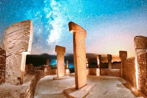
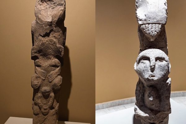
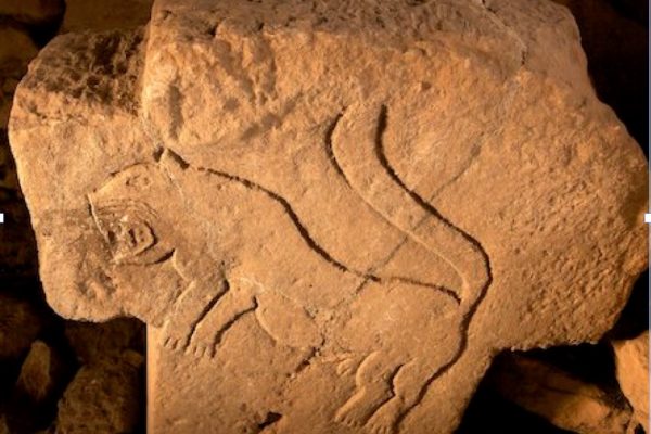
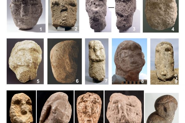
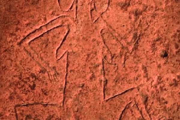
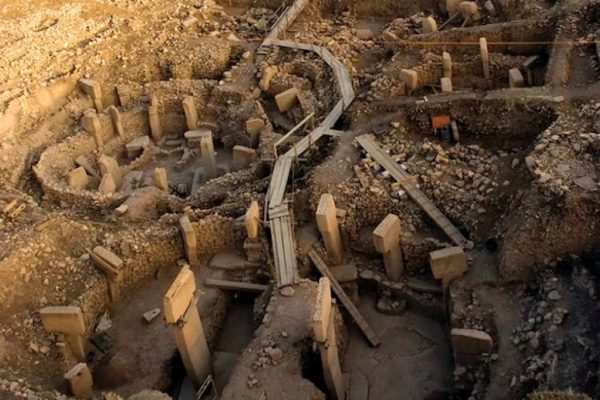
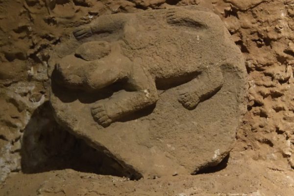
A site where a “T” shaped pillar excavated and removed is identified in an illegal excavation pit at Kurt Tepesi from Pre-Pottery Neolithic period with no ceramics (Fig. 3). During the surveys conducted at the villages in the vicinity, two pillars removed from their original site were discovered in Kösecik village located circa 6 km south– east of the hill (Fig. 4)18.