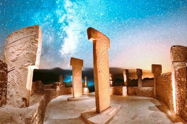
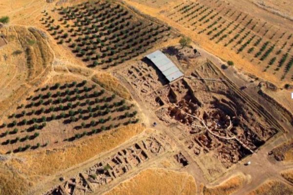
The site at Hamzan Tepe – which was first discovered in 2000 during the Sanlıurfa Culture Inventory – lies within the city boundaries of Sanlıurfa (formerly Urfa and in ancient times, Edessa) in south-eastern Turkey as the cornerstone of the Fertile Crescent. Hamzan Tepe is now located 10km south of modern Sanlıurfa city center. Like Göbekli Tepe, Karahan Tepe and Sanlıurfa-Yeni Mahalle PPN sites, Hamzan Tepe also lies in the high plateaus on the edge of Harran Plain (Map 1).
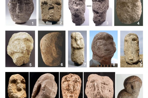
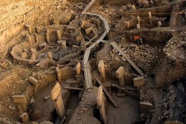
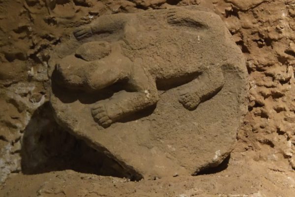
During surveys of Hamzan Tepe in 2000, pools cut into the bed rock and plenty of flint stone tools were determined. By means of these findings it is under- stood that this site was used as a settlement both in the Lower Palaeolithic and Pre-Pottery Neolithic Periods. Also, a T-shaped pillar which is also familiar through Nevali Çori and Göbekli Tepe was found. As a result of a new survey in 2010, new round plan architectural remains excavated by treasure hunters found out.