Karahan Tepe: a new cultural centre in the Urfa area in Turkey
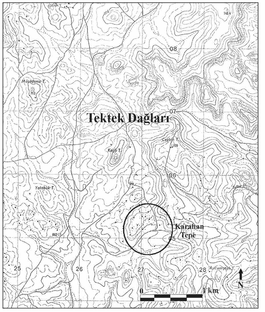
Karahan Tepe settlement was first discovered in 1997, but was surveyed in 2000 and again in 2011 within the course of the Sanlıurfa City Cultural Inventory. The settlements are located within the boundaries of Sanlıurfa (ancient name Edessa), a city in southeast Turkey. The settlement lies on a plateau known as the Tektek Mountains (Tektek Dagları) 63km east of Sanlıurfa. Like Göbekli Tepe, Hamzan Tepe and Sanlıurfa Yeni Mahalle PPN (Pre- Pottery Neolithic period) settlements located around the Harran Plain in the Urfa Region, Karahan Tepe is also a PPN settlement located on a high plateau foot on the eastern side of Harran Plain.
Read More