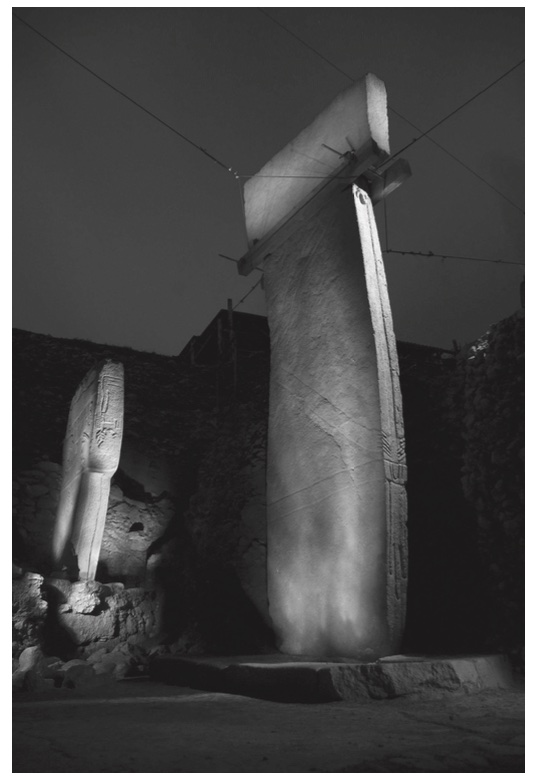
The tell of Göbekli Tepe1 is situated about 15 km northeast of the modern town of Şanlıurfa between the middle and upper reaches of the Euphrates and Tigris and the foothills of the Taurus Mountains (Fig. 7.1). Rising to about 15 m on a limestone plateau at the highest point of the Germuş mountain range, the mound is spreading on an area of about 9 ha, measuring 300 m in diameter. The location was known as a Pre-Pottery Neolithic site since a combined survey by the Universities of Chicago and Istanbul in the 1960s (Benedict 1980), but the architecture the mound was hiding remained unrecognised until its discovery in 1994 by Klaus Schmidt (Schmidt 2006; 2012). Since then annual excavation work was conducted, uncovering monumental buildings not suspected in such an early context (Schmidt 2001; 2006; 2010).


